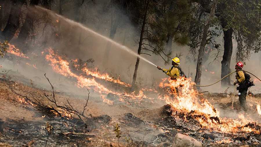
New evacuations in Carmel Valley due to Soberanes Fire
New evacuation orders and warnings were issued Tuesday for parts of Carmel Valley because of the spreading Soberanes Fire.
A spot fire jumped past a containment line near Chews Ridge, spread more than 200 acres, and caused the Monterey County Sheriff's Office to initiate evacuations.
The U.S. Forest Service said strong northwest winds carried embers across a control line near Chews Ridge -- into heavy fuel -- causing the spot fire.
"At approximately 8 p.m. (Monday), an anticipated wind change occurred, pushing wind-driven embers from the burning operation, over the dozer/containment line just north of Chews Ridge. Hand crews and engines staged in the area immediately responded to fight this new spot fire," the USFS said.
READ MORE: Soberanes Fire costliest to fight in U.S. history
The new evacuation order is on the east side of Tassajaro Road from Chews Ridge to Bruce Ranch and from Bruce Ranch east along Anastasia Canyon to Carmel Valley Road and from Carmel Valley Road south from Anastasia Canyon to Tash Ranch. The new evacuation warnings were issued for the area north of Carmel Valley Road, from Hastings Preserve to Cahoon Ranch, as well as for the area north of Carmel Valley Road from Cahoon Ranch east to Tash Ranch.
Since igniting from an illegal campfire along Soberanes Creek in July, the 61-day-old wildfire has spread over 121,000 acres, caused one fatality, and destroyed 57 homes.
Containment was at 71 percent Tuesday, and U.S. Forest Service officials' anticipated date for 100 percent containment remains set for Sept. 30.
Over the weekend, all evacuation orders and warnings were lifted around Big Sur as fire crews made progress containing the blaze.
A previous evacuation order for Tassajara Road south of Chews Ridge remains in effect.
The National Weather Services issued a Red Flag warning that will be in effect from 3 p.m. Wednesday to 9 p.m. Thursday for the Soberanes Fire zone in Los Padres National Forest.
A dry cold front will reach Monterey County Wednesday afternoon, and typical afternoon onshore winds will be magnified as the front approaches.
The strongest winds will occur overnight Wednesday into Thursday along ridges above 3,000 feet, near Chews Ridge and Tassajara Road. Gusts are forecast to reach 35-40 mph Thursday morning. Winds of this magnitude will create high risk weather conditions.
__._,_.___


No comments:
Post a Comment